
Who we are
I started Western Aerial Mapping for one simple reason:
I’ve been on enough jobsites to know that the people building our communities deserve better data, clearer visibility, and fewer surprises.
Long before I ever picked up aerial mapping, I was working in construction, hauling water to dusty civil jobs, supporting environmental projects, and navigating the constantly changing conditions of active worksites. I’ve watched projects rise and fall based on the quality of information teams had available — and I’ve seen firsthand how hard it is to manage a job when you’re working with outdated maps, missing progress photos, or limited stormwater documentation.
At the same time, I’ve always been drawn to aviation, technology, and precision.
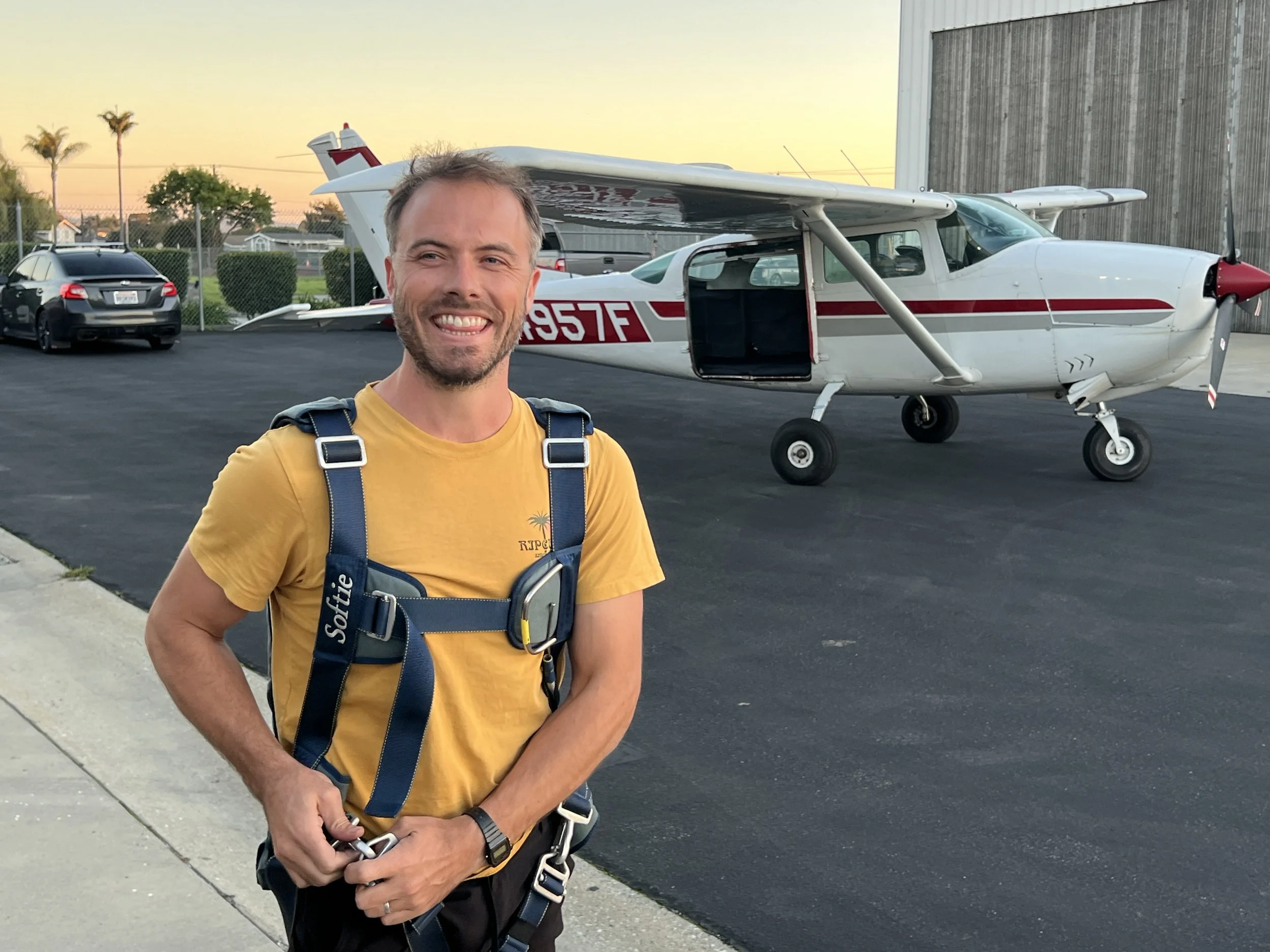
As a commercial pilot, checklists, accuracy, and safety are baked into everything I do.
Eventually, those two worlds aligned.
I realized I could take my experience on the ground, combine it with my aviation background, and use drone technology to give project teams something they rarely get: high-quality, engineering-grade intelligence that actually helps them build better.
Contact us
Interested in working together? Fill out some info and we will be in touch shortly. We can’t wait to hear from you!